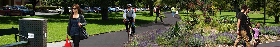
Council sought your thoughts, ideas and comments on a proposed shared use walking and cycling paths in the Park Lands. The paths will create an accessible route for people who walk or ride bikes through North Adelaide and South Park Lands areas, and increase opportunities for residents to enjoy active recreation pursuits in a natural setting.
Kangatilla (Park 4)
The path for Park 4 will form the final part of a local neighbourhood walking and cycling loop through Parks 4 and 5, connecting directly to the North East Park Lands Activity Hub. The path will also connect with existing and planned safe cycling bike-ways routes, including the Braund Road Bike-way to Prospect, the Park Lands Trail and the north-south Frome Bike-way.
Wita Wirra (Park 18), Pityarilla (Park 19) and Kurangga (Park 20)
The path for Parks 18, 19 and 20 will form the final part of a 1.5km long local neighbourhood walking and cycling loop through the South Park Lands. The path will also connect with existing and planned safe cycling bike-ways, including the Mike Turtur Bike-way and the north-south Frome Bike-way.
To find out more:
Browse the
FAQs for commonly asked questions about this project.
View the
Context Maps on the right-hand side for the overall concept.